CT Systems is an innovative company with more than 30 years’ experience in every professional maritime sector. The company’s main activities are the development and installation of hardware and software for use in the offshore, commercial fishing, survey, maritime construction and dredging sectors.
In addition to developing and supplying hardware and software, CT Systems also provides related services, such as the pre and post-processing of data for onshore and offshore projects, and performing hydrographic surveys.
CT Systems provides the following main products and services:
- Navigation and positioning Viking software
- Navigation and positioning hardware
- Hydrographic survey equipment
- Hardware installation and support services
- Data processing and preparation
High-precision positioning and navigation software system
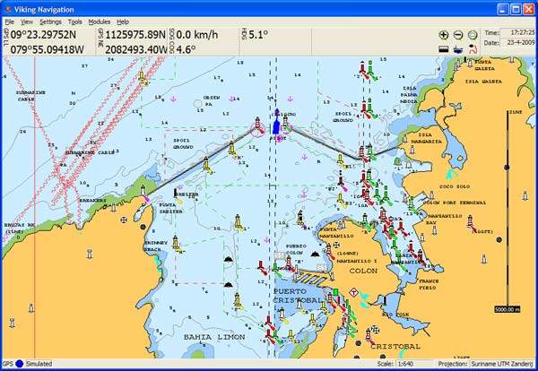
One of CT Systems’ main products is the Viking software product range. Viking is an easy-to-use high-precision positioning and navigation software system. It has the ability to process and visualise AutoCAD DXF/DWG, Excell CSV and ASCII XYZ data files. It supports many local cartographic projections such as WGS84 and ED50 UTM, as well as the Dutch, British and German local systems.
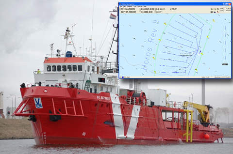
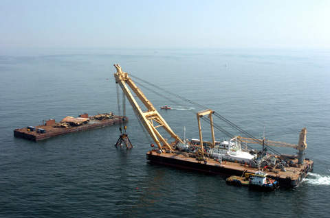
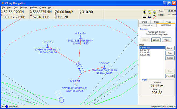
Viking is used on a large variety of vessels, ranging from small tug boats to large offshore support and diving vessels. In addition to the features found in Viking itself, support is also incorporated for extra software modules. A module often used by offshore vessels is the Anchoring module, enabling the operator of a multiple point anchoring vessel to plan, execute and review elaborate anchoring manoeuvres. We offer the following Viking software:
- Viking Navigation
- Viking Dredging
- Viking Process
- Viking Offline
- Viking Survey
Positioning and navigation hardware
In addition to our Viking software products we also supply and rent out virtually all relevant hardware, such as:
- Industrial PC and LCD installations
- DGPS and centimetre-accurate RTK GPS receivers
- GPS compass and heading receivers
- Hydrographic survey echo sounders
We strive to keep a healthy stock of all the products we sell and support, enabling us to supply our customers with replacement equipment in case of an emergency. Because of this, we offer off-site redundancy as part of our standard service.
Custom software and hardware systems
For many decades CT Systems has been known for its ability to produce custom hardware and software solutions. Many specialised and dedicated software programs have been produced over the years, for use by companies, educational facilities and governments all over the world.
Data processing and preparation of AutoCAD data files for offshore positioning projects
Pre-processing and post-processing is one of the services CT Systems is specialised in. For many oil, energy and offshore companies we prepare large AutoCAD data files for use in offshore positioning projects. The highly complex routines and formulas for converting between the many cartographic projection systems and latitude longitude GPS systems are part of our everyday work.


